
The Northern Michigan Skywarn Severe Weather Network is a team of trained weather spotters that work together with the National Weather Service in Gaylord. Utilizing the Northern Michigan Linked Repeater Network, our team is able to quickly and efficiently provide real time, boots on the ground information from all across Northern Michigan to the weather office. With our reports forecasters are able to send out advanced warnings to the public potently saving lives and property.

Spotter Information
For active members of local county Skywarn programs please see our list of repeaters to find the one closest to you. During times of severe weather, bulletins and advisories will be put out over the air. Once severe weather occurs in our area we will run a directed net soliciting spotter reports from you. We have many direct channels into the Weather Service: Station manned at the office, NWSChat, and MPSCS 800 Mhz. Please contact NWS APX District Emergency Coordinator Mike Vandermey, KD8REH for more information.
Color Codes
Our programs utilize a color code scheme to quickly and efficiently advise members of situation severity.
Standby: A severe weather event is imminent but not actively occurring. This code is used only as an early notice to spotters that a weather event is expected and to make appropriate preparations. Typically placed early on in the day. A list of operators available to man station at APX is curated.
Condition Green: Skywarn operations commence. Skywarn net control will begin taking general check-ins from spotters. Net control will periodically brief spotters of updates as they come in if no active weather is currently being observed. A warning has not been issued at this point and severe conditions have not been observed yet. APX station to be manned in a timely matter. Note DEC/ADEC can postpone manning APX station at their discretion.
Condition Yellow: Severe weather threat has been identified. Either by spotter observations or radar indication. An active, directed net is started and spotter reports are actively solicited. Direct contact is made with APX via NWSchat, staffed station at APX, and/or via MPSCS 800 Mhz. All spotters are to check in with net control and report to assigned location to begin observations.
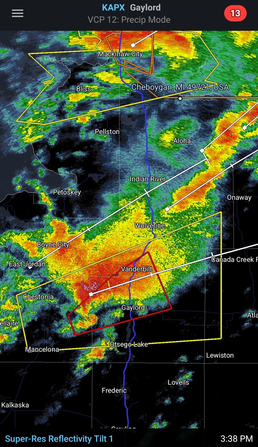
Condition Red: Severe T-storm or Tornado warning issued. All non essential net traffic is postponed. Net will solicit reports from warned area only. Should a warned area cover a large area, such as a large severe T-storm warning, controller will identify areas most critical and direct traffic from only that area. Controller will identify such areas either based on live radar or at the direction of an APX forcaster.
Contact information
NWS APX District Coordinator – Mike Vandermey KD8REH
District Asst. Coordinator – Adam Price N8APX
MI ARRL District 7 Emergency Coordinator – Chuck Brew N8NXP
